 |
| Page 3. |
|
 |
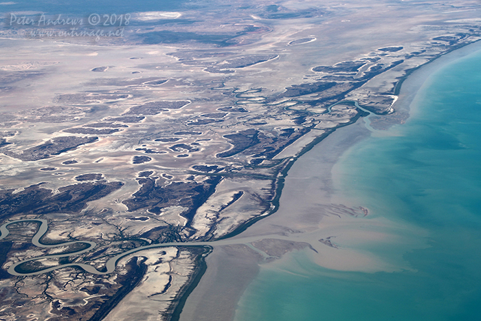 |
| The Flinders River and Spring Creek wind their way through tidal mudflats depositing silt into the Gulf of Carpentaria, near Normanton in outback Queensland. 17°28'04.0"S 140°38'56.9"E. High altitude shots from a flight between Sydney Australia and Manila, Philippines.
Photo © Peter Andrews / Outimage. |
|
 |
 |
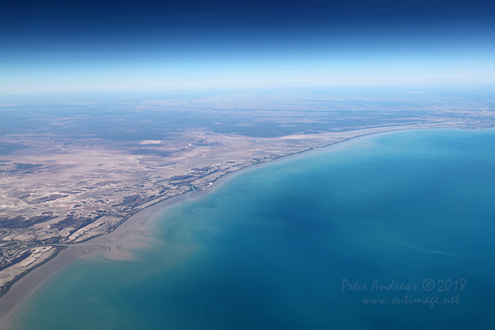 |
| Looking across the tidal mudflats towards the Queensland town of Burketown with the Flinders River flowing into the Gulf of Carpentaria, near Normanton in outback Queensland. 17°17'10.1"S 140°32'02.8"E. High altitude shots from a flight between Sydney Australia and Manila, Philippines.
Photo © Peter Andrews / Outimage. |
|
 |
 |
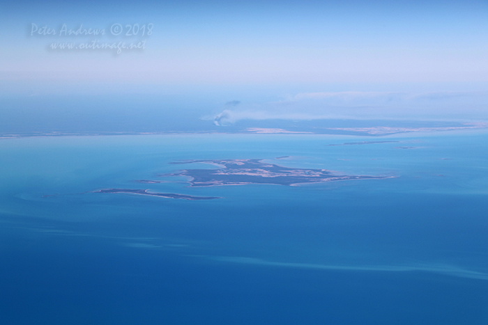 |
| Looking towards the South Wellesley Islands in the Gulf of Carpentaria with bushfire burning on the mainland, near Burketown in outback Queensland. 17°17'10.1"S 140°32'02.8"E. High altitude shots from a flight between Sydney Australia and Manila, Philippines.
Photo © Peter Andrews / Outimage. |
|
 |
 |
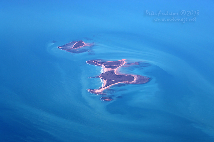 |
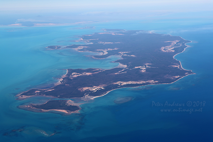
| The Bountiful Islands in the Gulf of Carpentaria, near Burketown in outback Queensland. 16°34'12.4"S 139°57'24.5"E. High altitude shots from a flight between Sydney Australia and Manila, Philippines.
Photo © Peter Andrews / Outimage. |
|
 |
 |
 |
| Fires burning on Morington Island in the Gulf of Carpentaria and on the mainland in the background, near Burketown in outback Queensland. 16°19'14.7"S 139°48'23.4"E. High altitude shots from a flight between Sydney Australia and Manila, Philippines.
Photo © Peter Andrews / Outimage. |
|
 |
 |
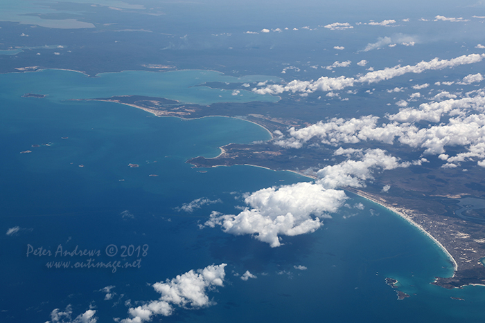 |
| The coastline of East Arnhem Land and home of the Yolngu People near Nhulunbuy, facing the Gulf of Carpentaria in the Northern Territory. 12°34'33.6"S 136°49'42.0"E. High altitude shots from a flight between Sydney Australia and Manila, Philippines.
Photo © Peter Andrews / Outimage. |
|
 |
 |
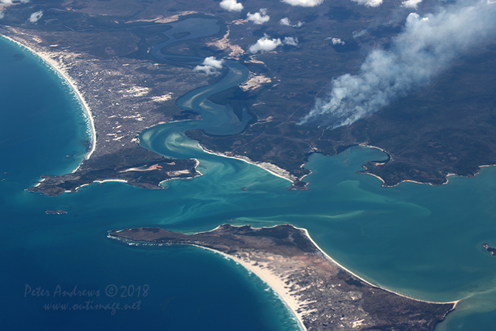 |
| Fire stick burning, a traditional indigenous fire management practice seen on the coastline of East Arnhem Land and home of the Yolngu People near Nhulunbuy in the Northern Territory. 12°34'33.6"S 136°49'42.0"E. High altitude shots from a flight between Sydney Australia and Manila, Philippines.
Photo © Peter Andrews / Outimage. |
|
 |
 |
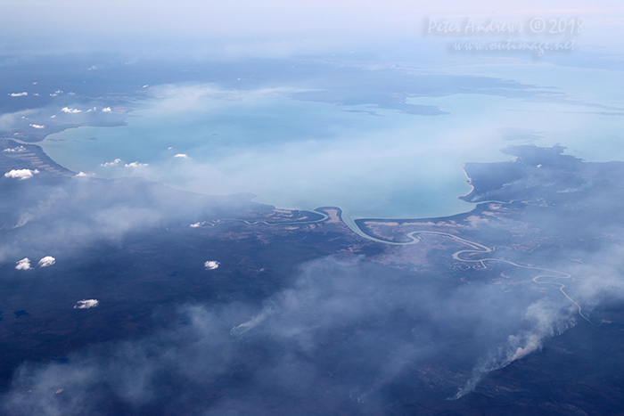 |
| Fire stick burning, a traditional indigenous fire management practice seen on the coastline of East Arnhem Land and home of the Yolngu People near Nhulunbuy in the Northern Territory. 12°10'28.8"S 136°28'04.7"E. High altitude shots from a flight between Sydney Australia and Manila, Philippines.
Photo © Peter Andrews / Outimage. |
|
 |
 |
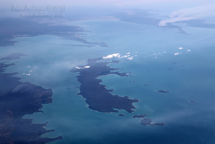 |
| Flying out towards the Arafura Sea looking at Inglis Island, just off the coast of East Arnhem Land which is home of the Yolngu People, near Nhulunbuy in the Northern Territory. Traditional fire stick burning, an indigenous fire management practice is seen in the distance on the mainland and on the distant Elcho Island. 11°57'26.4"S 136°23'12.9"E. High altitude shots from a flight between Sydney Australia and Manila, Philippines.
Photo © Peter Andrews / Outimage. |
|
 |
 |
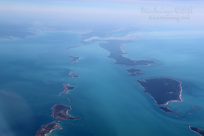 |
| Flying out towards the Arafura Sea over the Cunningham Islands of Jirrgari, Bumaga, Warnawi, Alger on the left; Drysdale, Graham and Elcho Islands which form the the Wessel Island Group on the right. This is the coast of East Arnhem Land which is home of the Yolngu People, near Nhulunbuy in the Northern Territory. Traditional fire stick burning, an indigenous fire management practice is seen in the distance on the mainland and on Elcho Island. 11°35'56.7"S 136°08'25.5"E. High altitude shots from a flight between Sydney Australia and Manila, Philippines.
Photo © Peter Andrews / Outimage. |
|
 |
| Outimage Publications © 2018. |

