 |
| Page 2. |
|
 |
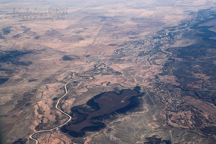 |
| The dry Flinders River passes through the outback Queensland town of Hughenden. Left of the river is the Flinders Highway that runs between Townsville and Mount Isa and continues into the Northern Territory. On to right of the hill is the Kennedy Development Road that runs between Hughenden and the Atherton Tableland near Cairns. 20°48'59.7"S 144°19'13.4"E. High altitude shots from a flight between Sydney Australia and Manila, Philippines.
Photo © Peter Andrews / Outimage. |
|
 |
 |
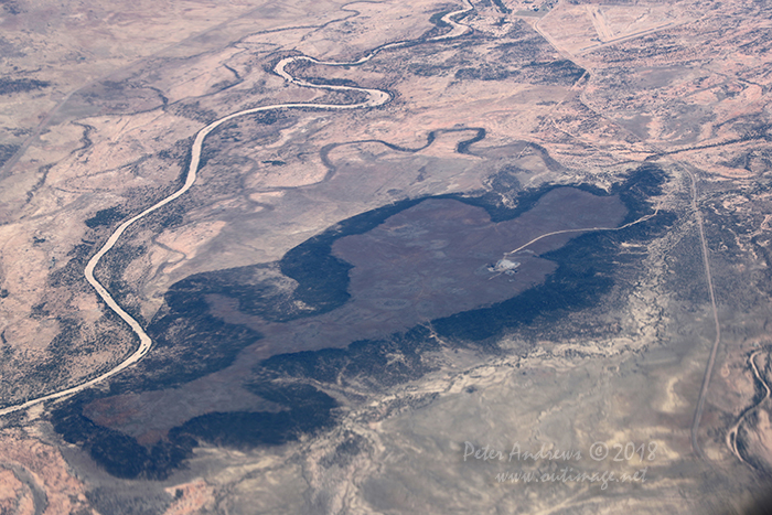 |
| The dry Flinders River passes through outback Queensland near the town of Hughenden. Left of the river is the Flinders Highway that runs between Townsville and Mount Isa and continues into the Northern Territory. On to right of the hill is the Kennedy Development Road that runs between Hughenden and the Atherton Tableland near Cairns. 20°48'59.7"S 144°19'13.4"E. High altitude shots from a flight between Sydney Australia and Manila, Philippines.
Photo © Peter Andrews / Outimage. |
|
 |
 |
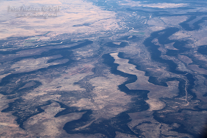 |
| The Flinders River passes through outback Queensland north of the town of Hughenden, at the foot of a high plateu landscape near Porcupine Gorge. 20°30'36.6"S 144°09'48.3"E. High altitude shots from a flight between Sydney Australia and Manila, Philippines.
Photo © Peter Andrews / Outimage. |
|
 |
 |
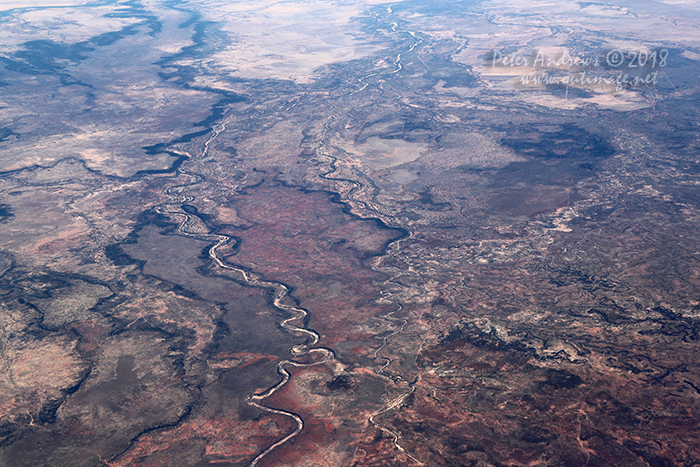 |
| The dry Dutton River winds its way towards Richmond in outback Queensland, from the high plateu landscape near Porcupine Gorge. 20°15'26.0"S 143°52'34.6"E. High altitude shots from a flight between Sydney Australia and Manila, Philippines.
Photo © Peter Andrews / Outimage. |
|
 |
 |
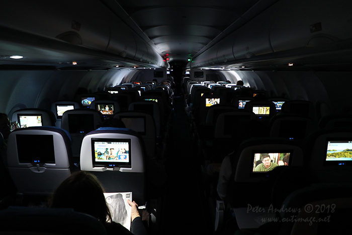 |
| Inside the cabin. High altitude shots from a flight between Sydney Australia and Manila, Philippines.
Photo © Peter Andrews / Outimage. |
|
 |
 |
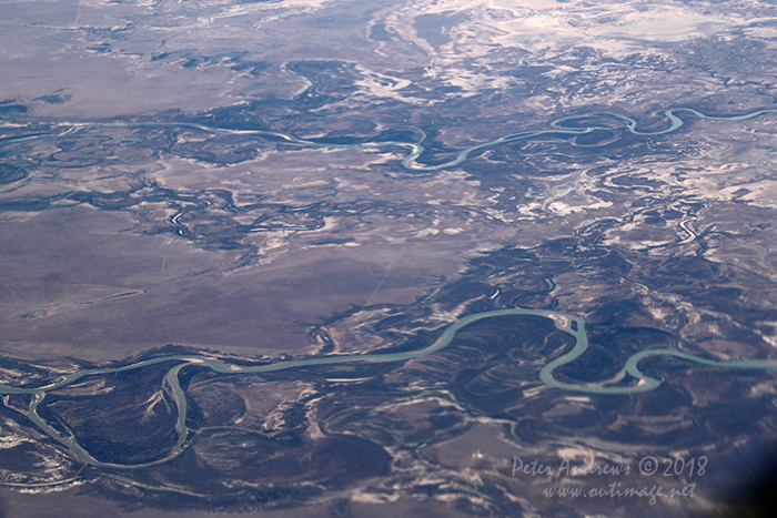 |
| The Bynoe and Flinders Rivers wind their way towards the Gulf of Carpentaria, near Normanton in outback Queensland. 17°45'24.0"S 140°53'07.0"E. High altitude shots from a flight between Sydney Australia and Manila, Philippines.
Photo © Peter Andrews / Outimage. |
|
 |
 |
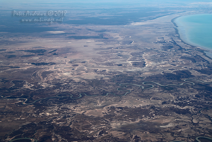 |
| Looking across the tidal mudflats towards the Queensland outback town of Burketown with the Flinders River winding towards the Gulf of Carpentaria, near Normanton in outback Queensland. 17°48'49.5"S 140°45'39.5"E. High altitude shots from a flight between Sydney Australia and Manila, Philippines.
Photo © Peter Andrews / Outimage. |
|
 |
 |
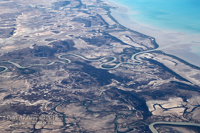 |
| The Flinders River winding towards the Gulf of Carpentaria, near Normanton in outback Queensland. 17°35'44.4"S 140°44'31.6"E. High altitude shots from a flight between Sydney Australia and Manila, Philippines.
Photo © Peter Andrews / Outimage. |
|
 |
 |
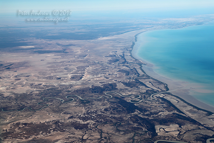 |
| Looking across the tidal mudflats towards the Queensland outback town of Burketown with the Flinders River winding towards the Gulf of Carpentaria, near Normanton in outback Queensland. 17°35'44.4"S 140°44'31.6"E. High altitude shots from a flight between Sydney Australia and Manila, Philippines.
Photo © Peter Andrews / Outimage. |
|
 |
 |
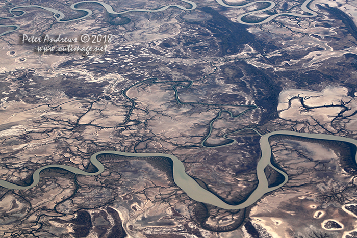 |
| The Bynoe and Flinders Rivers wind their way through tidal mudflats towards the Gulf of Carpentaria, near Normanton in outback Queensland. 17°35'44.4"S 140°44'31.6"E. High altitude shots from a flight between Sydney Australia and Manila, Philippines.
Photo © Peter Andrews / Outimage. |
|
 |
| Outimage Publications © 2018. |

