 |
| Page 1. |
|
 |
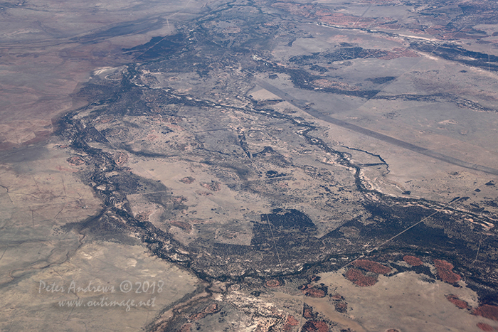 |
| Fence-lines and dirt tracks scar the landscape of the Channel Country in Outback Queensland near Aramac, where any water from flodding storms flows towards central South Australia. High altitude shots from a flight between Sydney Australia and Manila, Philippines.
Photo © Peter Andrews / Outimage. |
|
 |
 |
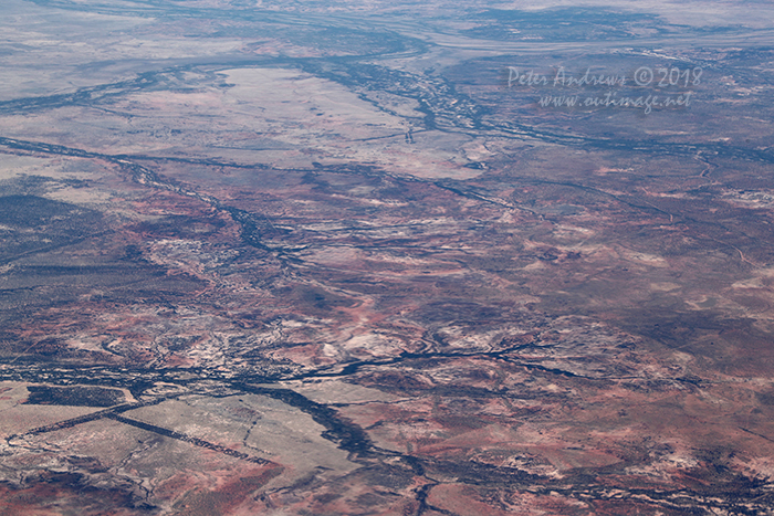 |
| The shallow valleys of the Landsborough, Towerhill and Cornish Creeks all flow into the Thompson River just north of Muttaburra, Outback Queensland. The view from: 22°08'05.3"S 144°58'03.3"E. High altitude shots from a flight between Sydney Australia and Manila, Philippines.
Photo © Peter Andrews / Outimage. |
|
 |
 |
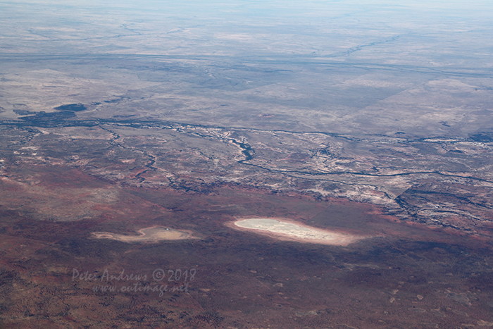 |
| Dry lake beds and river valleys near Muttaburra, Outback Queensland. 21°54'29.6"S 144°49'12.2"E. High altitude shots from a flight between Sydney Australia and Manila, Philippines.
Photo © Peter Andrews / Outimage. |
|
 |
 |
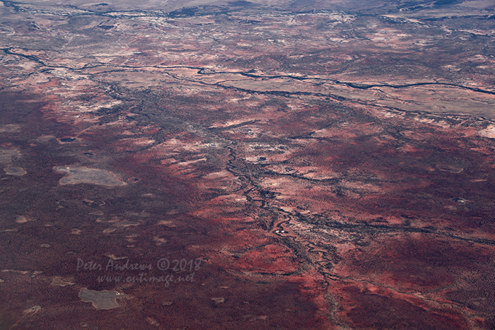 |
| Dry river valleys near Muttaburra, Outback Queensland. 21°53'49.0"S 144°40'32.9"E. High altitude shots from a flight between Sydney Australia and Manila, Philippines.
Photo © Peter Andrews / Outimage. |
|
 |
 |
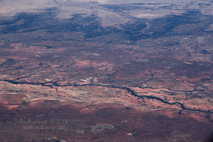 |
| Dry river valleys near Muttaburra, Outback Queensland. 21°53'49.0"S 144°40'32.9"E. High altitude shots from a flight between Sydney Australia and Manila, Philippines.
Photo © Peter Andrews / Outimage. |
|
 |
 |
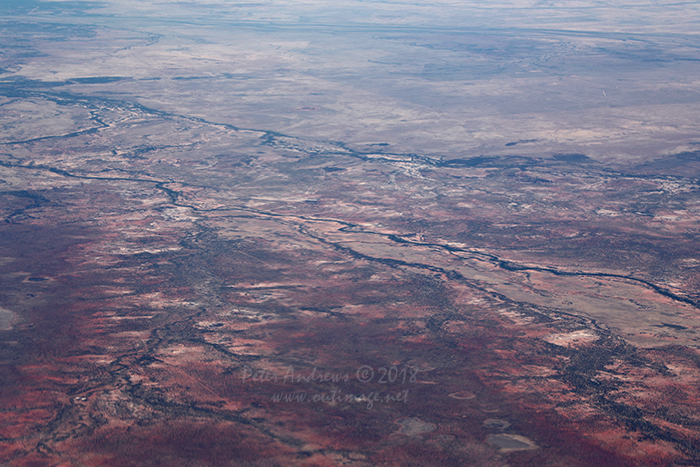 |
| Dry river valleys near Muttaburra, Outback Queensland. 21°53'49.0"S 144°40'32.9"E. High altitude shots from a flight between Sydney Australia and Manila, Philippines.
Photo © Peter Andrews / Outimage. |
|
 |
 |
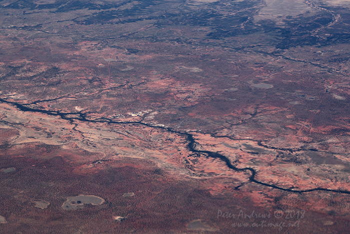 |
| Dry river valleys near Kooroorinya Falls, between Prairie and Muttaburra, Outback Queensland. 21°31'59.8"S 144°36'51.0"E. High altitude shots from a flight between Sydney Australia and Manila, Philippines.
Photo © Peter Andrews / Outimage. |
|
 |
 |
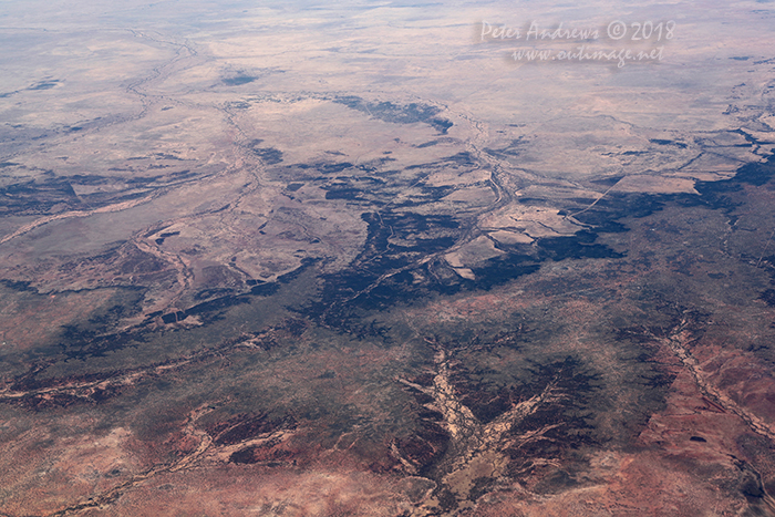 |
| Fence-lines and dirt tracks scar the landscape. Looking towards the northeast edge of the Channel Country where any water from flodding storms flows towards central South Australia, Outback Queensland. 21°11'52.1"S 144°27'32.7"E. High altitude shots from a flight between Sydney Australia and Manila, Philippines.
Photo © Peter Andrews / Outimage. |
|
 |
 |
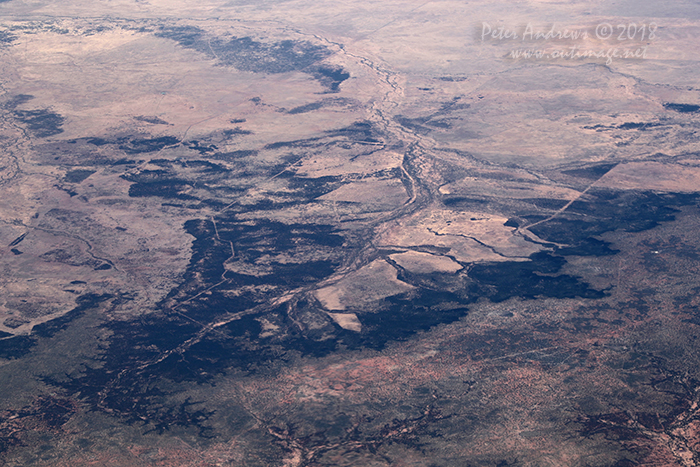 |
| Fence-lines and dirt tracks scar the landscape. Looking towards the northeast edge of the Channel Country where any water from flodding storms flows towards central South Australia, Outback Queensland. 21°11'52.1"S 144°27'32.7"E. High altitude shots from a flight between Sydney Australia and Manila, Philippines.
Photo © Peter Andrews / Outimage. |
|
 |
 |
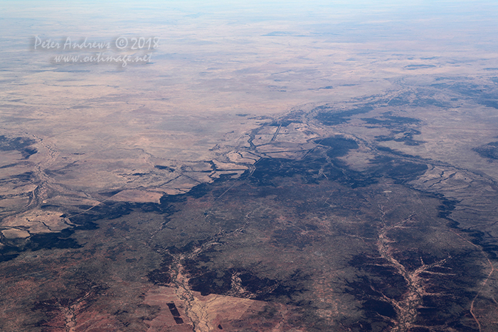 |
| Fence-lines and dirt tracks scar the landscape. Looking towards the Hughenden Muttaburra Road, Outback Queensland. 21°05'59.1"S 144°30'06.0"E. High altitude shots from a flight between Sydney Australia and Manila, Philippines.
Photo © Peter Andrews / Outimage. |
|
 |
| Outimage Publications © 2018. |

